![]()
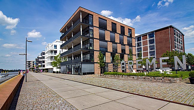
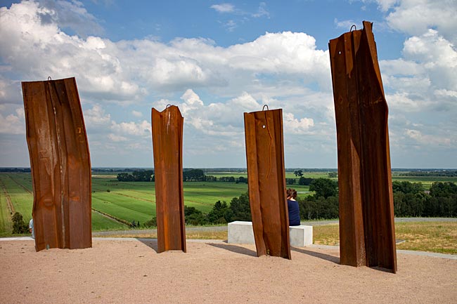
![]() exploring Bremen & its surrounding areas
exploring Bremen & its surrounding areas
![]() You are here: worth seeing in Hemelingen district
You are here: worth seeing in Hemelingen district
 The Weser weir in Hastedt district
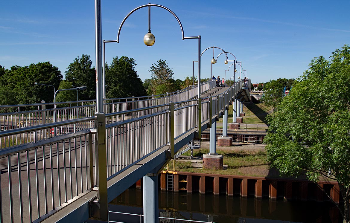
For many pedestrians and cyclists, the Weser weir is a low-traffic connection between the districts Hastedt and Habenhausen
For millennia, people have used bodies of water as transport routes. That this sometimes involves obstacles is evident, for example, in the Wadden Sea on the East Frisian coast, where ferry traffic operates between the mainland and the offshore islands like Norderney, Langeoog, Wangerooge, etc.. Here, during low tide, the seabed dries out so much in places that the ferry ships can only travel slowly in their fairway. Often, it is not much more than the "handful of water under the keel" desired at ship launches for new builds.
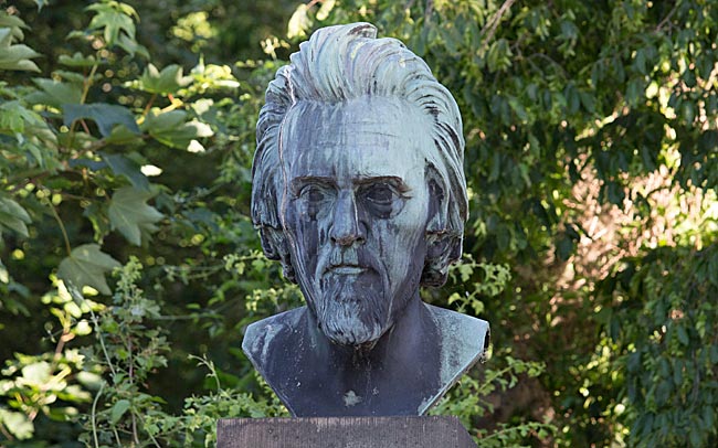
Ludwig Franzius on the Weser on the Neustadt side of the Wilhelm-Kaisen Bridge. The bronze bust has been located since 1962 at this spot at the Franziuseck and is a copy; the original, which was previously installed on the Altstadt side, was melted down in the last war. "He opened the way to world shipping for the city of Bremen," reads the honoring inscription on the tall pedestal for the construction director who died in 1903 and was buried at the Riensberger Cemetery.
Regarding rivers, humans have far-reaching influence capabilities, which they also use to make waterways more reliably navigable. This includes regulating water levels and flow speeds via weirs for their own needs. The 452-kilometer-long Weser, which only bears its name after the confluence of its source rivers Fulda and Werra from Hann. Münden, is dammed seven times in the section between Minden and Bremen known as the Middle Weser. The construction of a total of five weirs in Petershagen, Schlüsselburg, Landesbergen, Drakenburg, and Langwedel was to take place as part of a 1934 government-approved Middle Weser expansion project. The goal was to increase the water depth in the fairway to a constant 2.50 meters. However, the work that began just one year later had to be halted soon due to World War II. It was not until 1953 that construction resumed after war-related cleanup and restoration efforts on and in the river, and it was completed in 1960 with the finishing of the last weir. Today, the total drop from the first weir in Petershagen to the last one in Bremen is 32.5 meters.
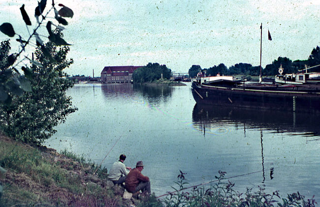
View of the Weserwehr with the old powerhouse building and inland ships moored at dolphins upstream of the large ship lock. Archive image
The weir in the Hanseatic city can look back on a significantly longer history and was the first of seven in the Middle Weser. After the groundbreaking in 1906, the water structure was erected until 1911. The weir was necessary after the then chief construction director of the city, the water engineer Ludwig Franzius born in Wittmund, had initially planned corrections to the Lower Weser until the end of the 1870s and then carried them out from 1887 for nearly eight years. The corrections subsequently brought an enormous development boost for Bremen’s urban ports; through straightening, reinforcing the banks, and deepening the fairway, however, the water’s flow velocity also increased because the tidal range grew and the tidal limit migrated further upstream. To prevent erosion of sediments at the riverbed’s base - the sole - and thus a lowering of the water level, completing the Weser weir in Hastedt was the conclusion of extensive construction measures on this river section. Three years later, a second weir went into operation in Dörverden after several years of construction. Through the now-possible regulation of the water level, the Middle Weser not only became reliably navigable year-round; agriculture in the region also benefited during dry months through a secured supply of Weser water for field irrigation.
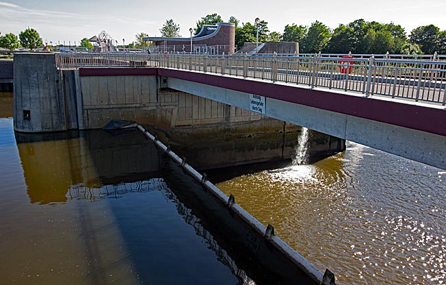
When the weir body is not lowered, the difference in water levels between the Middle and Lower Weser is particularly evident
To make navigation possible at all, the weirs are equipped with locks. In chambers up to 225 meters long, inland ships with a maximum width of 11.45 meters are locked through. The difference in water levels ranges between roughly three-and-a-half and six-and-a-half meters.The drop in water made it advantageous to generate power from it, as also occurred in Bremen. The capacity of the power plant, whose turbines successively went online between 1915 and ’17, was increased in 1926 through the commissioning of further turbines to such an extent that the generated energy at times covered half of the demand in the Hanseatic city.
In World War II, the weir was damaged by aerial bombs and ultimately partially blown up by German pioneers at the end of the war in ’45 to render it unusable for the advancing Allies. But the destruction was not total; power could continue to be generated, albeit not with previous capacity, and the pedestrian bridge over the weir remained one of two still-usable connections across the Weser at the war’s end.
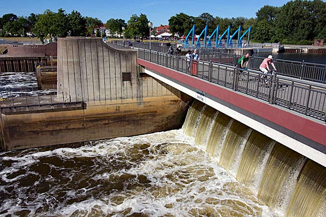
In 1980, damage to one of the weir bodies was so extensive that it could no longer be lowered to allow more water to flow downstream as needed. This restriction in the ability to regulate the Middle Weser’s water level favored the double breach of the summer dike on March 15th of the following year. Action was required. Given that a fundamental renovation of the old facility would have been too costly, the decision was made for complete reconstruction. In 1989, construction began roughly 180 meters further toward the city center at Weser kilometer 362 on the first of today’s five fields with stop logs. The significantly more powerful facility compared to the previous one was completed and commissioned in 1993 - including a fish ladder.
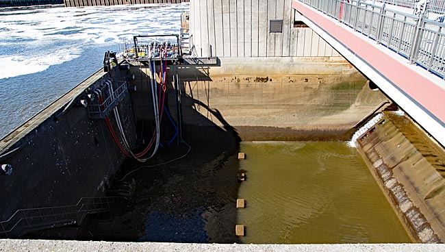
View into a largely dewatered field
For maintenance and repair work, the fields can be closed off from both the upstream and downstream sides and completely dewatered with the help of pumps. Since a wide pedestrian path as well as a wide bike path lead over the weir, there is always something for visitors to see; even the waterfall-like cascading masses are impressive and create an acoustically roaring ambiance. By the way, parts of the facility can also be visited from the inside on a guided tour.
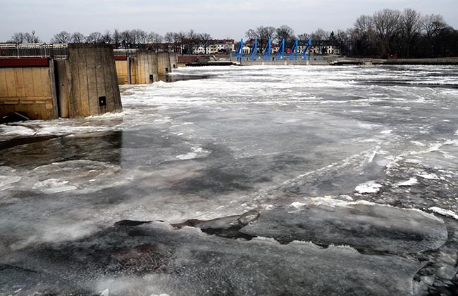
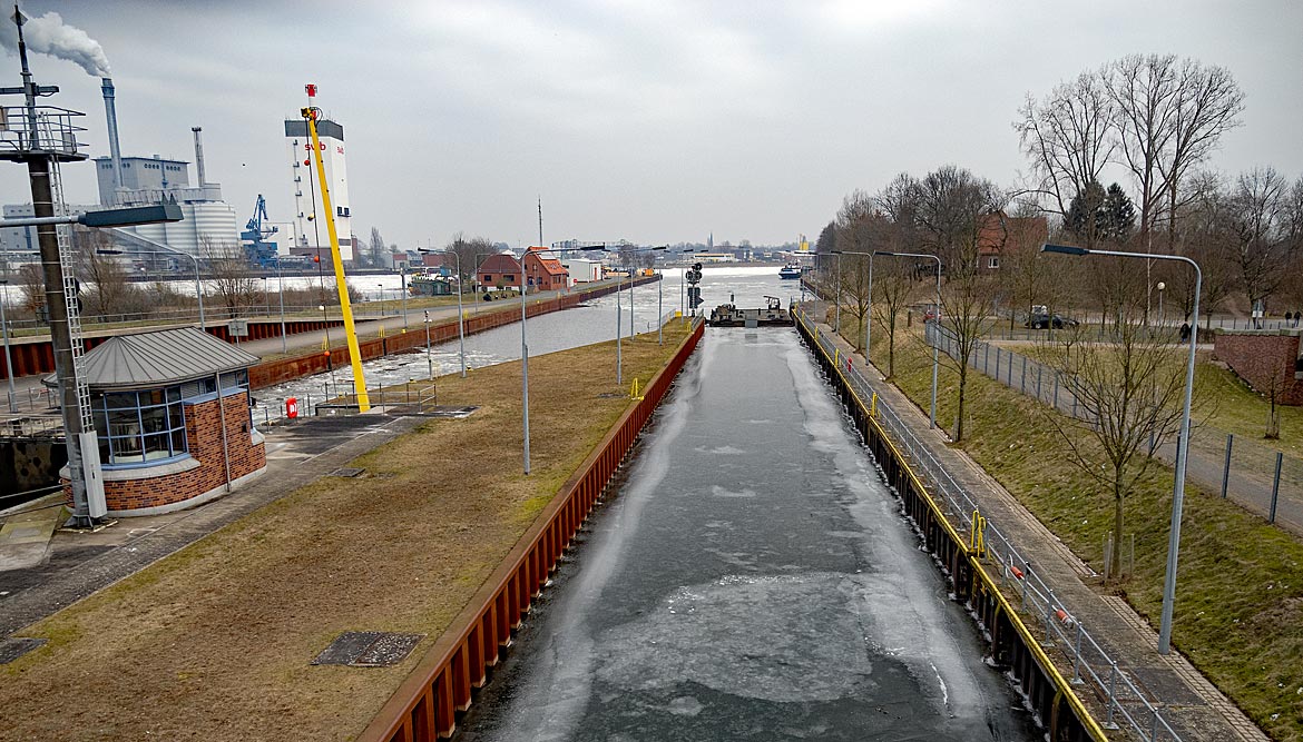
A sight rarely seen in the Hanseatic city: the Middle Weser above the Weser weir is nearly completely frozen over at the beginning of March 2018.
Also interesting is the view from above onto the two locks adjoining the weir. They were built between 1995 and ’99 and replaced the old facilities. The locks consist of a small ship lock with a usable length of 25 and width of 6.5 meters for smaller ships and recreational boats, which can be operated by the users themselves at the push of a button, and a large ship lock for commercial shipping. Naturally, during construction, lock operations could not be completely halted for commercial ships, so the two locks were built one after the other to ensure that a large ship lock was always in operation - initially the old slightly longer one, then the newly constructed one.
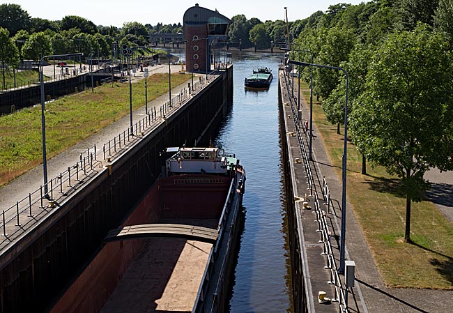
Two inland ships enter the large ship lock from the Lower Weser
In the large ship lock, two inland ships with a maximum length of 110 meters can be locked through simultaneously. When ships travel from the tide-dependent Lower Weser into the lock chamber at low water, up to 20,000 cubic meters of water must be let in from the Upper Weser until the rotating segment gate opens and the ship can continue its journey upstream. Corresponding devices ensure that during filling of the chamber or when water is being released, the flow conditions do not become too strong. In addition, there are protective measures such as cables to protect the heavy gates from damage by ships. Given that the clearance height for the large ship lock is at a minimum of 7.5 m, one has a nice overview from above from the freely accessible operating bridge, although a complete locking also takes time. During this time, one can also take a look at the Hemelingen Harbor located upstream.

View from the operating bridge into the large ship lock with one of the lock gates
In May 1987, the old hydroelectric power plant was shut down. Considerations to build a new power plant with the new weir were however discarded by the local energy supplier swb for economic reasons. It was not until 2008 that construction on a new facility began after a seven-year planning phase, although completion was delayed due to difficulties until 2011 or 2012. Unlike the old power plant with its large turbine house made of red brick, little can be seen of the 10-megawatt facility with its two turbines, as the run-of-the-river power plant is largely underground. Since the start of regular operations in spring 2012, 42 million kilowatt-hours have been generated annually when 220 cubic meters of water per second are guided in a curved manner past the weir at the northern Weser bank through the facility. Due to the tidal range in the Lower Weser below the weir of approximately four meters, the head of the water fluctuates between two and six meters. To not further reduce the fish population in the Weser, a globally unique fish pass was also integrated into the facility. With 10% of the total construction costs of 56.5 million euros, the construction was not exactly cheap, but worth the price. It is located in the area in front of the six blue-painted cleaning machines at the cleaning basin for the turbine water. By the way, these have been a sight to behold since 2016 when lit up in blue at night. More Information about the power plant can be found at www.weserkraftwerk-bremen.de.
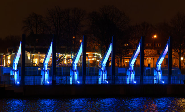
Bathing in blue light at night: the cleaning machines at the cleaning basin for the turbine water. Behind them, illuminated by strings of lights, the "Paulaner’s" invites visitors in
This might also please the guests at the Wehrschloss in the adjacent small park, which the city established after the power plant was put into operation. Before its near-total destruction by bombs in the last war, a well-frequented gastronomic business was located in the building at Hastedter-Osterdeich. The successor building served as a youth center until 2010, where regular live concerts also took place. In 2011, the city sold the house for 300,000 euros. In 2013, "Paulaner’s" finally opened with 280 seats inside and a large beer garden outside overlooking the Weser. A pub with traditional Bavarian specialties on the Weser bank, can that work? Joar, it’ll do just fine.
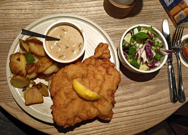
Menue at Paulaner at the Wehrschloss
previous page![]()
![]() next page
next page
Map
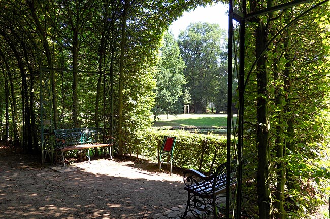
Round trip: from the City Center to the Weser weir and back
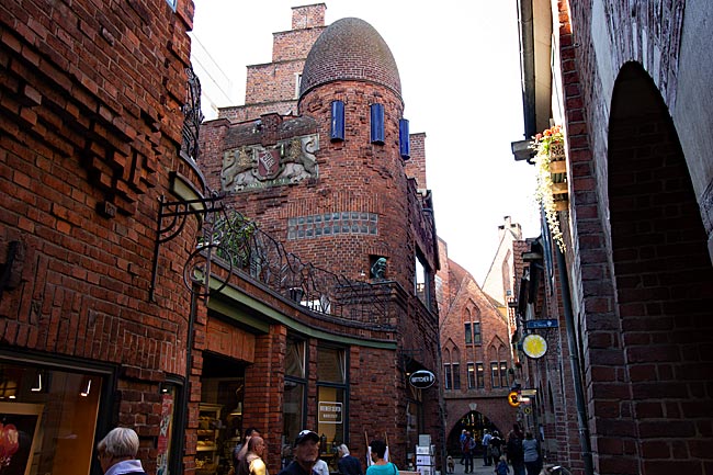
From Tiefer or Altenwall, the section of the Weser riverbank in front of Schnoor and diagonally opposite the DGzRS (German Maritime Search and Rescue Service), the planetarium, and the observatory on the other side of the river, a beautiful path for pedestrians and cyclists runs directly along the water upstream toward the Weser weir. After crossing the Weser weir, the return route of the tour leads via Stadtwerder.
read more ...
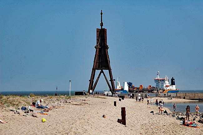
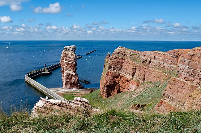
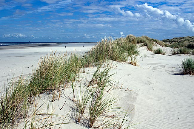
The East Frisian Island Wangerooge
Among the inhabited East Frisian Islands, Wangerooge is the second smallest (7.94 km²) after Baltrum and car-free, making a stroll through town much more pleasant compared to other islands, especially since distances can easily be covered on foot. From the small train station, you're just a few steps away from the heart of the village, quickly finding yourself in front of the unmistakable Old Lighthouse, which now houses the island museum. From 1856 to 1969, this lighthouse served as a maritime navigation aid, guiding ships safely along their routes. Just how far its light could be seen becomes clear when you climb the 149 steps to the lantern room—from there, you can step out onto the surrounding gallery and enjoy a sweeping view of the island and the North Sea.
read more ...
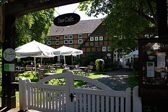
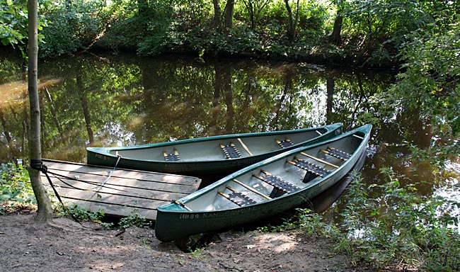
Water-based activities in Bremen
Since not everyone owns a boat, it's convenient that you can easily rent canoes and kayaks—for example, at Torfhafen in the Findorff district, which borders Bürgerpark, or just beyond the city limits at Kanu-Scheune in Lilienthal, accessible by tram line 4.
read more ...
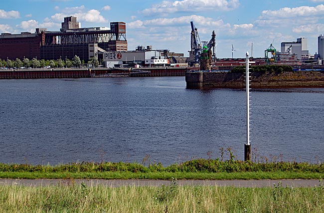
Through Woltmershausen to Lankenauer Höft
A truly maritime bike tour takes you from the Stephani Bridge through Hohentorshafen and Woltmershausen all the way to Lankenauer Höft, which is almost entirely surrounded by water. Behind the Höft, several ships, including the 1957-built tugboat Greif, are moored in an unrestricted section of Neustädter Harbor. This view of the harbor marks the end of this tour.
read more ...
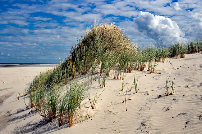
Brake & the River Island of Harriersand
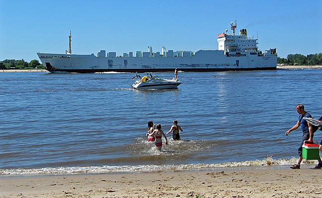
As soon as the sun shines in spring and temperatures reach around 20 degrees, many Northern Germans are drawn to the North Sea coast for some water fun. The main thing is having a beach to lie on in the sun and sand for the kids to dig and build castles. That's why many people from Bremen also head north on warm weekends via the highway, packed with bags and picnic baskets ready for a day of beach vacation. But why travel far when the nearest beach is just around the corner - as a visit to Brake and Harriersand demonstrates.
read more ...
Vegesack
The most interesting area extends around the ferry terminal. From the seats of the nearby cafés and restaurants, you can almost watch the ferry operations. In front of the square stand the enormous lower jaws of a blue whale. Measuring 7.1 meters long, up to 1 meter wide, and weighing 1.2 tons, these bones belonged to a 26-meter-long animal that the port town received as a gift in 1961.
read more ...
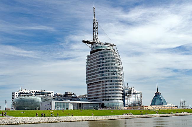
Bremerhaven in general
Bremerhaven was founded only in 1827. To secure its importance as a port city amid the threat of silting up of the Weser River - the lifeline of Bremen - Bremen acquired 342 morgen (approximately 850 acres) of land at the mouth of the Weser from the Kingdom of Hanover for 74,000 talers in 1827 under then-mayor Johann Smidt. About 60 km downstream from Bremen, the first urgently needed seaport for Bremen, known as the Alte Hafen (Old Harbor), was established there by 1830.
read more ...
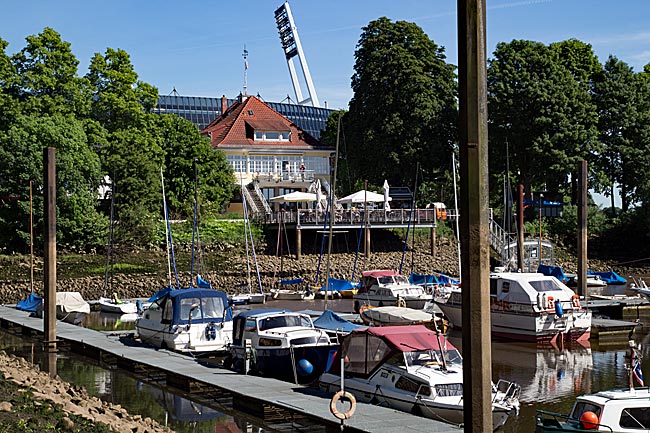
From the Weser weir through Hemelingen Harbor to the marina and to the beach
By bike from the Weser Weir in the Hastedt district through Hemelingen Harbor to the marina and the public Hemelingen beach, a small idyll in an industrially shaped environment. Hemelingen Harbor was first put into operation in 1903, and since then, much has changed. Nevertheless, harbor life still holds a certain charm if one is open to it.
read more ...
Überseestadt
When the overseas port (Überseehafen) needed to be renovated, it was decided in 1991 in the Hanseatic city to simply close the basin. In 1998, the overseas port was finally filled with sand that resulted from dredging operations in the outer Weser. Together with the also decommissioned but still existing Europa Harbor as a harbor basin, this formed the basis for the conceptual development and creation of today's Überseestadt.
read more ...